244 Lightbowne Road, Manchester
Introduction
The photograph on this page of 244 Lightbowne Road, Manchester by Steven Haslington as part of the Geograph project.
The Geograph project started in 2005 with the aim of publishing, organising and preserving representative images for every square kilometre of Great Britain, Ireland and the Isle of Man.

There are currently over 7.5m images from over 14,400 individuals and you can help contribute to the project by visiting https://www.geograph.org.uk
244 Lightbowne Road, Manchester
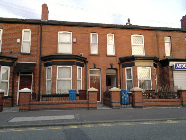
Image: © Steven Haslington Taken: 3 Aug 2011
Terraced housing lines Lightbowne Road in the low profile Lightbowne area of North Manchester, England. I say low profile because it is not as well known as the neighbouring North Manchester districts of Moston, Newton Heath and Harpurhey. This particular photograph is centred on number 244 Lightbowne Road - a red-brick terraced house that is typical of both Manchester and Greater Manchester as a whole.
Images are licensed for reuse under creativecommons.org/licenses/by-sa/2.0
Image Location
Latitude
53.509402
Longitude
-2.191307