Ham Common
Introduction
The photograph on this page of Ham Common by Marathon as part of the Geograph project.
The Geograph project started in 2005 with the aim of publishing, organising and preserving representative images for every square kilometre of Great Britain, Ireland and the Isle of Man.

There are currently over 7.5m images from over 14,400 individuals and you can help contribute to the project by visiting https://www.geograph.org.uk
Ham Common
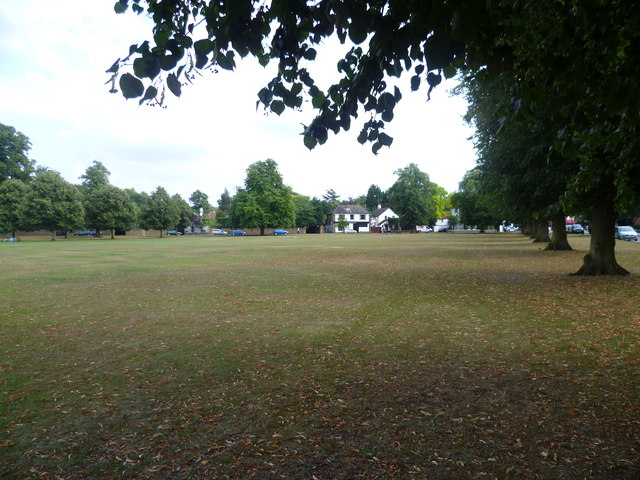
Image: © Marathon Taken: 3 Aug 2011
This triangle between Ham Street, Ham Common and Upper Ham Road is called Ham Common but is much more formal than the far larger part of Ham Common to the east on the other side of Upper Ham Road. This view is looking parallel to Ham Street towards Upper Ham Road.
Images are licensed for reuse under creativecommons.org/licenses/by-sa/2.0
Image Location
Latitude
51.432695
Longitude
-0.306785