Long Lane
Introduction
The photograph on this page of Long Lane by Tony Atkin as part of the Geograph project.
The Geograph project started in 2005 with the aim of publishing, organising and preserving representative images for every square kilometre of Great Britain, Ireland and the Isle of Man.

There are currently over 7.5m images from over 14,400 individuals and you can help contribute to the project by visiting https://www.geograph.org.uk
Long Lane
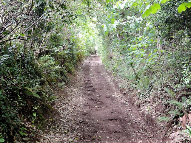
Image: © Tony Atkin Taken: 19 Jun 2011
Long Lane is a green lane running along the top of a ridge from Dawlish to Little Haldon. It is, as the name implies, quite long, being some 4 kilometres in length.
Images are licensed for reuse under creativecommons.org/licenses/by-sa/2.0
Image Location
Latitude
50.591432
Longitude
-3.485864