Glasgow Street, Belfast
Introduction
The photograph on this page of Glasgow Street, Belfast by Albert Bridge as part of the Geograph project.
The Geograph project started in 2005 with the aim of publishing, organising and preserving representative images for every square kilometre of Great Britain, Ireland and the Isle of Man.

There are currently over 7.5m images from over 14,400 individuals and you can help contribute to the project by visiting https://www.geograph.org.uk
Glasgow Street, Belfast
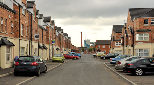
Image: © Albert Bridge Taken: 3 Aug 2011
A long street running, parallel to the railway and M2, from Mineral Street Image to Ritchie Street. Much of the area is being re-built. The buildings (background) are Jennymount Mill Image and Thompson’s feed mill Image
Images are licensed for reuse under creativecommons.org/licenses/by-sa/2.0
Image Location
Latitude
54.62054
Longitude
-5.921771