The A689 near to Killhopehead
Introduction
The photograph on this page of The A689 near to Killhopehead by David Gearing as part of the Geograph project.
The Geograph project started in 2005 with the aim of publishing, organising and preserving representative images for every square kilometre of Great Britain, Ireland and the Isle of Man.

There are currently over 7.5m images from over 14,400 individuals and you can help contribute to the project by visiting https://www.geograph.org.uk
The A689 near to Killhopehead
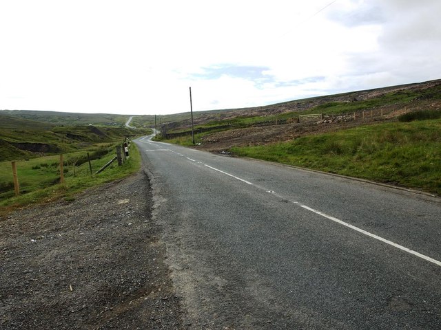
Image: © David Gearing Taken: 26 Jul 2011
This photo was taken from a similar position to that of Andrew Smith's in 2006 Image, but it's apparent that the plantation on the right has now been completely cleared.
Images are licensed for reuse under creativecommons.org/licenses/by-sa/2.0
Image Location
Latitude
54.784163
Longitude
-2.290888