Recreational land by the Weaver
Introduction
The photograph on this page of Recreational land by the Weaver by Espresso Addict as part of the Geograph project.
The Geograph project started in 2005 with the aim of publishing, organising and preserving representative images for every square kilometre of Great Britain, Ireland and the Isle of Man.

There are currently over 7.5m images from over 14,400 individuals and you can help contribute to the project by visiting https://www.geograph.org.uk
Recreational land by the Weaver
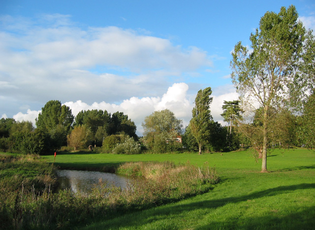
Image: © Espresso Addict Taken: 3 Oct 2006
An extensive area of recreational land with grass and mature trees lies between the River Weaver and Shrewbridge Road, to the south west of Nantwich. There are several pools, possibly formerly tributaries of the Weaver. Cycle paths run through, providing safe routes into the centre of Nantwich
Images are licensed for reuse under creativecommons.org/licenses/by-sa/2.0
Image Location
Latitude
53.059588
Longitude
-2.525178