The junction of Camp Street with Mill Street
Introduction
The photograph on this page of The junction of Camp Street with Mill Street by John S Turner as part of the Geograph project.
The Geograph project started in 2005 with the aim of publishing, organising and preserving representative images for every square kilometre of Great Britain, Ireland and the Isle of Man.

There are currently over 7.5m images from over 14,400 individuals and you can help contribute to the project by visiting https://www.geograph.org.uk
The junction of Camp Street with Mill Street
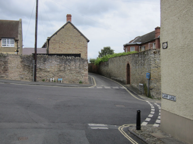
Image: © John S Turner Taken: 2 Aug 2011
Looking across the junction of Camp Street with Mill Street, with Silk Mill Lane straight ahead, and Lower Mill Street on the right.
Images are licensed for reuse under creativecommons.org/licenses/by-sa/2.0
Image Location


Leaflet Map data © OpenStreetMap
Latitude
52.365004
Longitude
-2.720301