Pump house at Four Winds
Introduction
The photograph on this page of Pump house at Four Winds by Graham Horn as part of the Geograph project.
The Geograph project started in 2005 with the aim of publishing, organising and preserving representative images for every square kilometre of Great Britain, Ireland and the Isle of Man.

There are currently over 7.5m images from over 14,400 individuals and you can help contribute to the project by visiting https://www.geograph.org.uk
Pump house at Four Winds
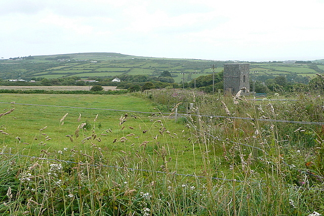
Image: © Graham Horn Taken: 6 Jul 2011
The map records nothing exceptional about this building, which may be a pump house. We are overlooking the Red River valley.
Images are licensed for reuse under creativecommons.org/licenses/by-sa/2.0
Image Location
Latitude
50.164708
Longitude
-5.511062