Ebenezer Road
Introduction
The photograph on this page of Ebenezer Road by Oast House Archive as part of the Geograph project.
The Geograph project started in 2005 with the aim of publishing, organising and preserving representative images for every square kilometre of Great Britain, Ireland and the Isle of Man.

There are currently over 7.5m images from over 14,400 individuals and you can help contribute to the project by visiting https://www.geograph.org.uk
Ebenezer Road
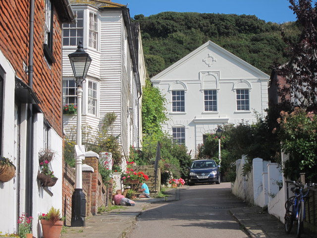
Image: © Oast House Archive Taken: 30 Jul 2011
Short dead end road leading to Ebenezer Chapel. East Hill seen behind.
Images are licensed for reuse under creativecommons.org/licenses/by-sa/2.0
Image Location


Leaflet Map data © OpenStreetMap
Latitude
50.858551
Longitude
0.59582