Bridleway at Embla Vean
Introduction
The photograph on this page of Bridleway at Embla Vean by Graham Horn as part of the Geograph project.
The Geograph project started in 2005 with the aim of publishing, organising and preserving representative images for every square kilometre of Great Britain, Ireland and the Isle of Man.

There are currently over 7.5m images from over 14,400 individuals and you can help contribute to the project by visiting https://www.geograph.org.uk
Bridleway at Embla Vean
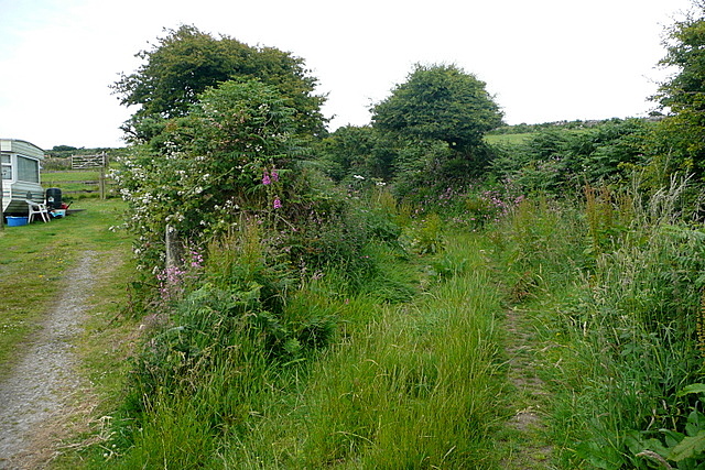
Image: © Graham Horn Taken: 6 Jul 2011
The bridleway that leads to Amalveor Downs starts here to the right of the buildings. It is rather overgrown at the entrance but it improves.
Images are licensed for reuse under creativecommons.org/licenses/by-sa/2.0
Image Location


Leaflet Map data © OpenStreetMap
Latitude
50.182498
Longitude
-5.529601