Brookfield recreational ground
Introduction
The photograph on this page of Brookfield recreational ground by Espresso Addict as part of the Geograph project.
The Geograph project started in 2005 with the aim of publishing, organising and preserving representative images for every square kilometre of Great Britain, Ireland and the Isle of Man.

There are currently over 7.5m images from over 14,400 individuals and you can help contribute to the project by visiting https://www.geograph.org.uk
Brookfield recreational ground
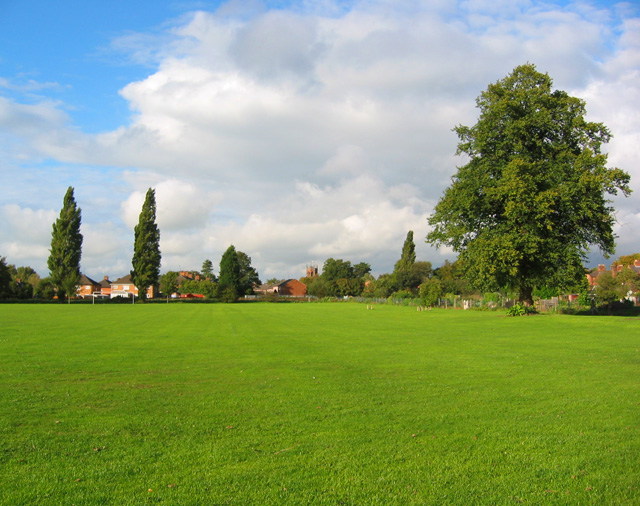
Image: © Espresso Addict Taken: 3 Oct 2006
Bounded by Wellington Road (right), Shrewbridge Road and the railway (beyond the line of poplars), the Brookfield recreational ground has playing fields and a small playground. On the horizon (centre) is St Mary's, the parish church of Nantwich, whose tower dominates Nantwich centre (in Image)
Images are licensed for reuse under creativecommons.org/licenses/by-sa/2.0
Image Location
Latitude
53.061399
Longitude
-2.522216