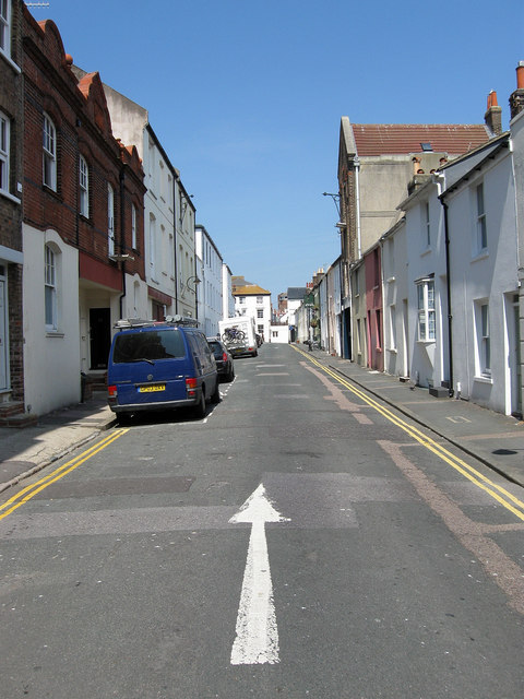
Foundry Street
Introduction
The photograph on this page of Foundry Street by Simon Carey as part of the Geograph project.
The Geograph project started in 2005 with the aim of publishing, organising and preserving representative images for every square kilometre of Great Britain, Ireland and the Isle of Man.
There are currently over 7.5m images from over 14,400 individuals and you can help contribute to the project by visiting https://www.geograph.org.uk

Image: © Simon Carey Taken: 31 Jul 2011
A side street linking North Road to Gloucester Road and named after the former foundry that once lay beyond the buildings on the left that was originally built on open fields and eventually got engulfed by the northern expansion of Brighton in the 1840s. The foundry produced many works which still stand today including the original railings along much of the sea front. It was closed in the 1920s, demolished and replaced by a new Royal Mail sorting office which still stands today.

