Moathouse Lane bridge over the Essington and Wyrley canal
Introduction
The photograph on this page of Moathouse Lane bridge over the Essington and Wyrley canal by Richard Law as part of the Geograph project.
The Geograph project started in 2005 with the aim of publishing, organising and preserving representative images for every square kilometre of Great Britain, Ireland and the Isle of Man.

There are currently over 7.5m images from over 14,400 individuals and you can help contribute to the project by visiting https://www.geograph.org.uk
Moathouse Lane bridge over the Essington and Wyrley canal
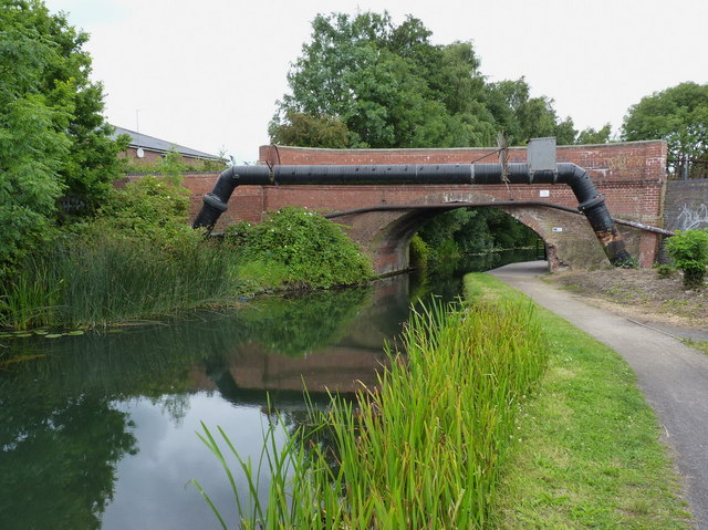
Image: © Richard Law Taken: 22 Jul 2011
No longer a drivable road; the bridge now carries a cycleway and footpath.
Images are licensed for reuse under creativecommons.org/licenses/by-sa/2.0
Image Location
Latitude
52.607746
Longitude
-2.076892