The Glebe Road, Dunmurry
Introduction
The photograph on this page of The Glebe Road, Dunmurry by Albert Bridge as part of the Geograph project.
The Geograph project started in 2005 with the aim of publishing, organising and preserving representative images for every square kilometre of Great Britain, Ireland and the Isle of Man.

There are currently over 7.5m images from over 14,400 individuals and you can help contribute to the project by visiting https://www.geograph.org.uk
The Glebe Road, Dunmurry
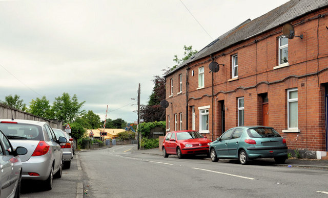
Image: © Albert Bridge Taken: 1 Aug 2011
A road running from Upper Dunmurry Lane (behind me) to Kingsway. It crosses the railway by a level crossing Image (below the bright roof – background).
Images are licensed for reuse under creativecommons.org/licenses/by-sa/2.0
Image Location
Latitude
54.552493
Longitude
-6.005304