Upper Dunmurry Lane, Dunmurry
Introduction
The photograph on this page of Upper Dunmurry Lane, Dunmurry by Albert Bridge as part of the Geograph project.
The Geograph project started in 2005 with the aim of publishing, organising and preserving representative images for every square kilometre of Great Britain, Ireland and the Isle of Man.

There are currently over 7.5m images from over 14,400 individuals and you can help contribute to the project by visiting https://www.geograph.org.uk
Upper Dunmurry Lane, Dunmurry
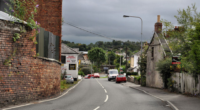
Image: © Albert Bridge Taken: 1 Aug 2011
The westward continuation of Dunmurry Lane http://www.geograph.org.uk/snippet/3834 from Dunmurry crossroads to the Stewartstown Road. This view is downhill to Dunmurry, from close to Sunnymede Park. Image shows the view in the opposite direction in August 2013.
Images are licensed for reuse under creativecommons.org/licenses/by-sa/2.0
Image Location
Latitude
54.552864
Longitude
-6.006059