Footbridge west of Perkin's Village
Introduction
The photograph on this page of Footbridge west of Perkin's Village by David Smith as part of the Geograph project.
The Geograph project started in 2005 with the aim of publishing, organising and preserving representative images for every square kilometre of Great Britain, Ireland and the Isle of Man.

There are currently over 7.5m images from over 14,400 individuals and you can help contribute to the project by visiting https://www.geograph.org.uk
Footbridge west of Perkin's Village
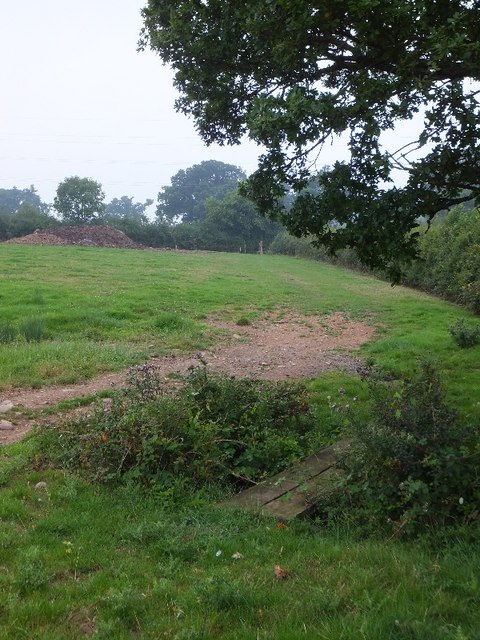
Image: © David Smith Taken: 1 Aug 2011
The OS map marks this bridge of two planks, which is alongside a farm track which also crosses the small stream. Excellent attention to detail!
Images are licensed for reuse under creativecommons.org/licenses/by-sa/2.0
Image Location
Latitude
50.713376
Longitude
-3.38405