Blind Lane, Aylesbeare
Introduction
The photograph on this page of Blind Lane, Aylesbeare by David Smith as part of the Geograph project.
The Geograph project started in 2005 with the aim of publishing, organising and preserving representative images for every square kilometre of Great Britain, Ireland and the Isle of Man.

There are currently over 7.5m images from over 14,400 individuals and you can help contribute to the project by visiting https://www.geograph.org.uk
Blind Lane, Aylesbeare
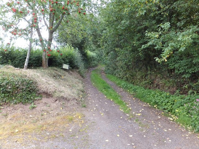
Image: © David Smith Taken: 1 Aug 2011
Users of the lane are greeted with a succession of signs. First: Unmetalled Road; then: Unsuitable for Vehicles; then: County Road. It is a rough track, with an eroded surface, leading to woods on the east of the village.
Images are licensed for reuse under creativecommons.org/licenses/by-sa/2.0
Image Location
Latitude
50.717237
Longitude
-3.36164