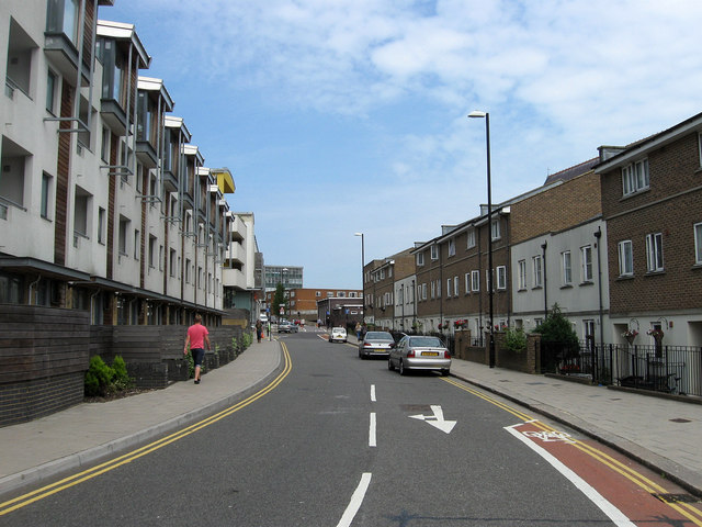
New England Street
Introduction
The photograph on this page of New England Street by Simon Carey as part of the Geograph project.
The Geograph project started in 2005 with the aim of publishing, organising and preserving representative images for every square kilometre of Great Britain, Ireland and the Isle of Man.
There are currently over 7.5m images from over 14,400 individuals and you can help contribute to the project by visiting https://www.geograph.org.uk

Image: © Simon Carey Taken: 31 Jul 2011
Originally the name only applied to the northern part of what was three separate streets. The middle section was New York Street and this part was Fleet Street all packed with terracing housing built in the 1850s to house the workers for the nearby locomotive works. The northern part was demolished in the late 1950s/early 1960s whilst this part went towards the end of the 1960s. To the left was the boundary with the goods yard which had been extended in 1905 but had become a giant car park by the 1980s. The rest was turned into small pockets of housing or office blocks and business premises. The old goods yard was finally redeveloped in the 2000s and with it a new access road to the west which was named Fleet Street leaving this section of New England Street now closed beyond the junction with Ann Street.

