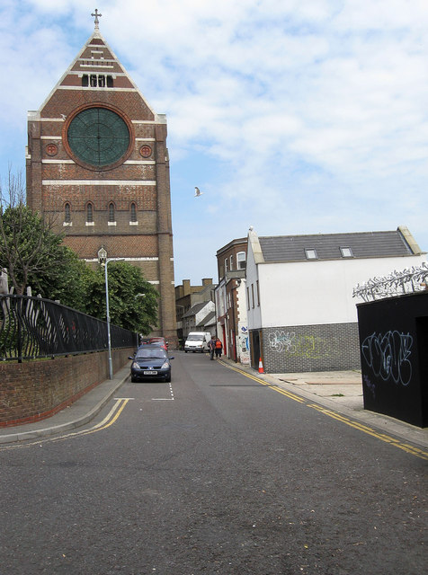
Providence Place
Introduction
The photograph on this page of Providence Place by Simon Carey as part of the Geograph project.
The Geograph project started in 2005 with the aim of publishing, organising and preserving representative images for every square kilometre of Great Britain, Ireland and the Isle of Man.
There are currently over 7.5m images from over 14,400 individuals and you can help contribute to the project by visiting https://www.geograph.org.uk

Image: © Simon Carey Taken: 31 Jul 2011
The street originally ran behind the shops on London Road to the right from York Hill to Cheapside though the latter part to the immediate south was closed off to enable some of the larger stores to extend further back. St Bartholomews reputed to have been built to the same dimensions as Noah's ark provides the backdrop. See http://www.regencysociety-jamesgray.com/volume10a/source/jg_10a_083.html for an image taken at roughly the same spot in 1964.

