Field of buttercups at Hawes
Introduction
The photograph on this page of Field of buttercups at Hawes by Rod Allday as part of the Geograph project.
The Geograph project started in 2005 with the aim of publishing, organising and preserving representative images for every square kilometre of Great Britain, Ireland and the Isle of Man.

There are currently over 7.5m images from over 14,400 individuals and you can help contribute to the project by visiting https://www.geograph.org.uk
Field of buttercups at Hawes
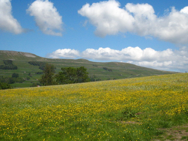
Image: © Rod Allday Taken: 2 Jun 2011
Looking across the valley of the River Ure to the fells on Abbotside Common.
Images are licensed for reuse under creativecommons.org/licenses/by-sa/2.0
Image Location
Latitude
54.30256
Longitude
-2.200964