Clydach Brook, Resolven
Introduction
The photograph on this page of Clydach Brook, Resolven by Jaggery as part of the Geograph project.
The Geograph project started in 2005 with the aim of publishing, organising and preserving representative images for every square kilometre of Great Britain, Ireland and the Isle of Man.

There are currently over 7.5m images from over 14,400 individuals and you can help contribute to the project by visiting https://www.geograph.org.uk
Clydach Brook, Resolven
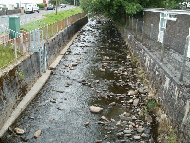
Image: © Jaggery Taken: 31 Jul 2011
The brook here flows between Resolven Health Centre http://www.geograph.org.uk/photo/2531871 and Clydach Avenue. http://www.geograph.org.uk/photo/2531902 The brook is a tributary of the River Neath, into which it flows about 300 metres behind the camera.
Images are licensed for reuse under creativecommons.org/licenses/by-sa/2.0
Image Location
Latitude
51.711673
Longitude
-3.69628