New Grange Terrace
Introduction
The photograph on this page of New Grange Terrace by Richard Dorrell as part of the Geograph project.
The Geograph project started in 2005 with the aim of publishing, organising and preserving representative images for every square kilometre of Great Britain, Ireland and the Isle of Man.

There are currently over 7.5m images from over 14,400 individuals and you can help contribute to the project by visiting https://www.geograph.org.uk
New Grange Terrace
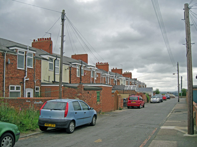
Image: © Richard Dorrell Taken: 26 Jul 2011
The housing remains, but the works have gone. Nothing visible remains of the coal mine workings which stood within walking distance of these terraced cottages on the outskirts of Chester-le-Street.
Images are licensed for reuse under creativecommons.org/licenses/by-sa/2.0
Image Location
Latitude
54.858673
Longitude
-1.615982