Streonshalh, Khyber Pass, Whitby
Introduction
The photograph on this page of Streonshalh, Khyber Pass, Whitby by Humphrey Bolton as part of the Geograph project.
The Geograph project started in 2005 with the aim of publishing, organising and preserving representative images for every square kilometre of Great Britain, Ireland and the Isle of Man.

There are currently over 7.5m images from over 14,400 individuals and you can help contribute to the project by visiting https://www.geograph.org.uk
Streonshalh, Khyber Pass, Whitby
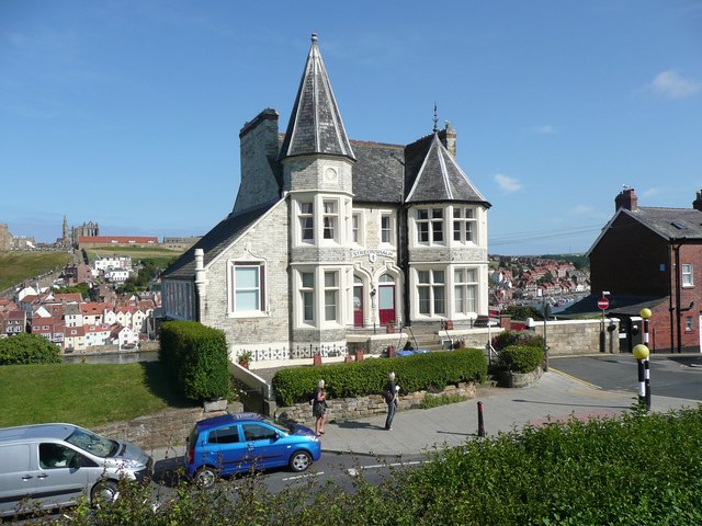
Image: © Humphrey Bolton Taken: 30 Jul 2011
This building is built against a cliff and has three storeys below the two that can be seen in this image. The name is the old Saxon name for the town.
Images are licensed for reuse under creativecommons.org/licenses/by-sa/2.0
Image Location
Latitude
54.488924
Longitude
-0.615566