Lower Upham, Hampshire
Introduction
The photograph on this page of Lower Upham, Hampshire by Brendan and Ruth McCartney as part of the Geograph project.
The Geograph project started in 2005 with the aim of publishing, organising and preserving representative images for every square kilometre of Great Britain, Ireland and the Isle of Man.

There are currently over 7.5m images from over 14,400 individuals and you can help contribute to the project by visiting https://www.geograph.org.uk
Lower Upham, Hampshire
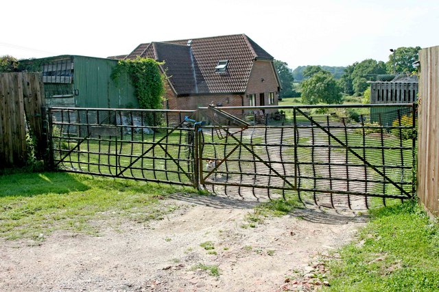
Image: © Brendan and Ruth McCartney Taken: 31 Jul 2011
Woodward Farm, off the minor road in the extreme southeast of the square.
Images are licensed for reuse under creativecommons.org/licenses/by-sa/2.0
Image Location
Latitude
50.969259
Longitude
-1.262527