Bridleway to Hay Barn
Introduction
The photograph on this page of Bridleway to Hay Barn by Graham Horn as part of the Geograph project.
The Geograph project started in 2005 with the aim of publishing, organising and preserving representative images for every square kilometre of Great Britain, Ireland and the Isle of Man.

There are currently over 7.5m images from over 14,400 individuals and you can help contribute to the project by visiting https://www.geograph.org.uk
Bridleway to Hay Barn
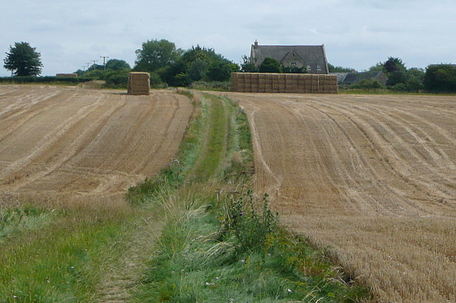
Image: © Graham Horn Taken: 27 Jul 2011
This bridleway goes through the centre of a large arable field towards a building by the road junction marked on the map as Hay Barn that is actually a house. Some of the field has been cut and stacked but not all of it.
Images are licensed for reuse under creativecommons.org/licenses/by-sa/2.0
Image Location
Latitude
51.760706
Longitude
-1.863756