Entrance to Business Centre & Farm Track
Introduction
The photograph on this page of Entrance to Business Centre & Farm Track by Roger Jones as part of the Geograph project.
The Geograph project started in 2005 with the aim of publishing, organising and preserving representative images for every square kilometre of Great Britain, Ireland and the Isle of Man.

There are currently over 7.5m images from over 14,400 individuals and you can help contribute to the project by visiting https://www.geograph.org.uk
Entrance to Business Centre & Farm Track
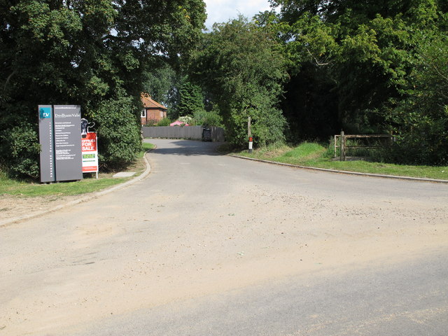
Image: © Roger Jones Taken: 30 Jul 2011
As Manningtree Road does a right angle curve to become Jupes Hill there is an entrance to a Business Centre and a track to Lower Barn Farm.
Images are licensed for reuse under creativecommons.org/licenses/by-sa/2.0
Image Location
Latitude
51.951666
Longitude
1.013483