Chapel in Cumwhinton
Introduction
The photograph on this page of Chapel in Cumwhinton by Richard Dorrell as part of the Geograph project.
The Geograph project started in 2005 with the aim of publishing, organising and preserving representative images for every square kilometre of Great Britain, Ireland and the Isle of Man.

There are currently over 7.5m images from over 14,400 individuals and you can help contribute to the project by visiting https://www.geograph.org.uk
Chapel in Cumwhinton
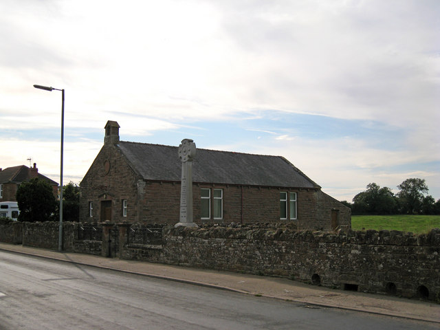
Image: © Richard Dorrell Taken: 25 Jul 2011
The building stands alongside the village war memorial (see also Image] ). An absence of signs outside this building suggest that it may not be currently in use as a chapel. It is dated 1908.
Images are licensed for reuse under creativecommons.org/licenses/by-sa/2.0
Image Location
Latitude
54.866763
Longitude
-2.857694