Skinner Lane, Pontefract.
Introduction
The photograph on this page of Skinner Lane, Pontefract. by Bill Henderson as part of the Geograph project.
The Geograph project started in 2005 with the aim of publishing, organising and preserving representative images for every square kilometre of Great Britain, Ireland and the Isle of Man.

There are currently over 7.5m images from over 14,400 individuals and you can help contribute to the project by visiting https://www.geograph.org.uk
Skinner Lane, Pontefract.
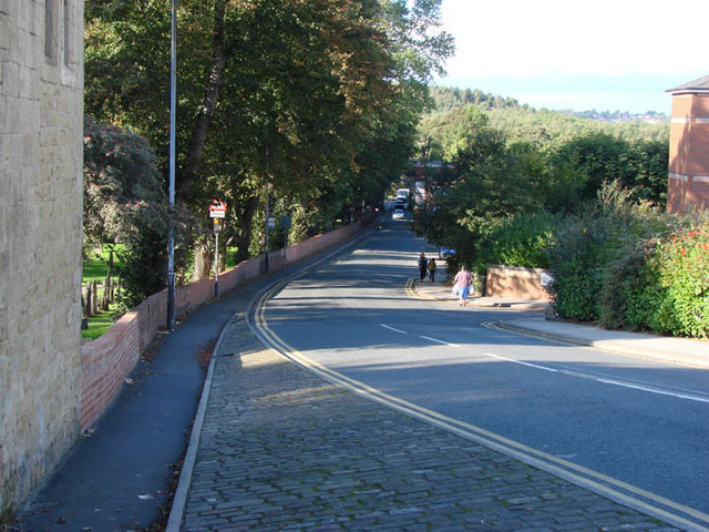
Image: © Bill Henderson Taken: 3 Oct 2006
This view is looking north north west down Skinner Lane, from the town centre, near the cemetery gates, towards Monkhill. The vehicles seen in the distance are passing under the railway bridge over the lane,
Images are licensed for reuse under creativecommons.org/licenses/by-sa/2.0
Image Location
Latitude
53.695168
Longitude
-1.312386