Towton Kirk
Introduction
The photograph on this page of Towton Kirk by David Brown as part of the Geograph project.
The Geograph project started in 2005 with the aim of publishing, organising and preserving representative images for every square kilometre of Great Britain, Ireland and the Isle of Man.

There are currently over 7.5m images from over 14,400 individuals and you can help contribute to the project by visiting https://www.geograph.org.uk
Towton Kirk
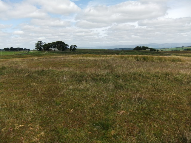
Image: © David Brown Taken: 29 Jul 2011
Some maps describe this as a stone circle but there are few stones and the circle is no more than a foot above the level of the ground.
Images are licensed for reuse under creativecommons.org/licenses/by-sa/2.0
Image Location
Latitude
54.554062
Longitude
-2.785096