Topping near Lower Woodford
Introduction
The photograph on this page of Topping near Lower Woodford by Maigheach-gheal as part of the Geograph project.
The Geograph project started in 2005 with the aim of publishing, organising and preserving representative images for every square kilometre of Great Britain, Ireland and the Isle of Man.

There are currently over 7.5m images from over 14,400 individuals and you can help contribute to the project by visiting https://www.geograph.org.uk
Topping near Lower Woodford
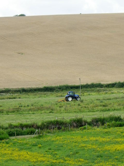
Image: © Maigheach-gheal Taken: 27 Jul 2011
The field on the Avon flood plain is being topped. Topping helps to improve the grass by encouraging young growth as well as stimulating new root development. It also prevents many of the undesirable plants such as docks, nettles and thistles from going to seed, thus reducing the number of these plants in the future.
Images are licensed for reuse under creativecommons.org/licenses/by-sa/2.0
Image Location
Latitude
51.099408
Longitude
-1.821433