Fish Street
Introduction
The photograph on this page of Fish Street by J Scott as part of the Geograph project.
The Geograph project started in 2005 with the aim of publishing, organising and preserving representative images for every square kilometre of Great Britain, Ireland and the Isle of Man.

There are currently over 7.5m images from over 14,400 individuals and you can help contribute to the project by visiting https://www.geograph.org.uk
Fish Street
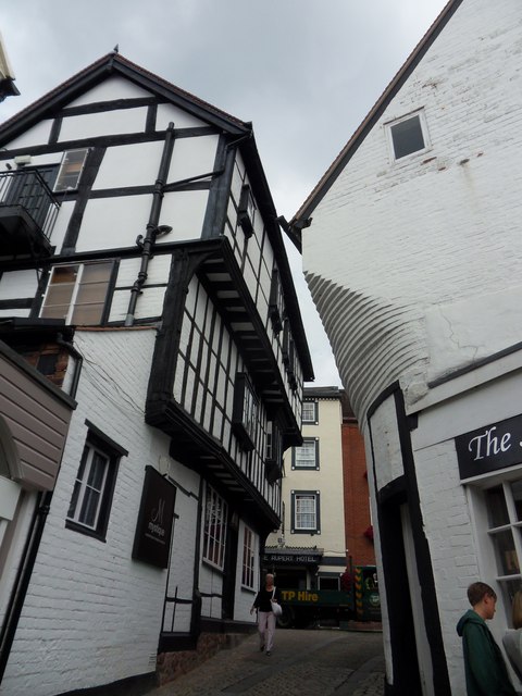
Image: © J Scott Taken: 12 Jul 2011
Runs parallel to High Street. It is called Fish Street because historians believe that fish was often sold in the area, from as early as the 15th century.
Images are licensed for reuse under creativecommons.org/licenses/by-sa/2.0
Image Location
Latitude
52.707952
Longitude
-2.752875