Steep lane down Pebble Hill
Introduction
The photograph on this page of Steep lane down Pebble Hill by Robin Webster as part of the Geograph project.
The Geograph project started in 2005 with the aim of publishing, organising and preserving representative images for every square kilometre of Great Britain, Ireland and the Isle of Man.

There are currently over 7.5m images from over 14,400 individuals and you can help contribute to the project by visiting https://www.geograph.org.uk
Steep lane down Pebble Hill
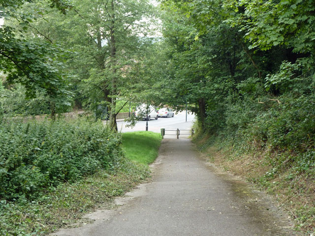
Image: © Robin Webster Taken: 29 Jul 2011
Now only a public footpath, this route cuts the corner of the A25 - B269 junction. It looks suspiciously like the old route from the east into Limpsfield and beyond, before the current A25 route bypassed the centre of Limpsfield. Cursory research has not found when the A25 bypass was built, but it was probably in turnpike times.
Images are licensed for reuse under creativecommons.org/licenses/by-sa/2.0
Image Location
Latitude
51.256723
Longitude
0.015939