Northernmost green, Limpsfield Chart golf course
Introduction
The photograph on this page of Northernmost green, Limpsfield Chart golf course by Robin Webster as part of the Geograph project.
The Geograph project started in 2005 with the aim of publishing, organising and preserving representative images for every square kilometre of Great Britain, Ireland and the Isle of Man.

There are currently over 7.5m images from over 14,400 individuals and you can help contribute to the project by visiting https://www.geograph.org.uk
Northernmost green, Limpsfield Chart golf course
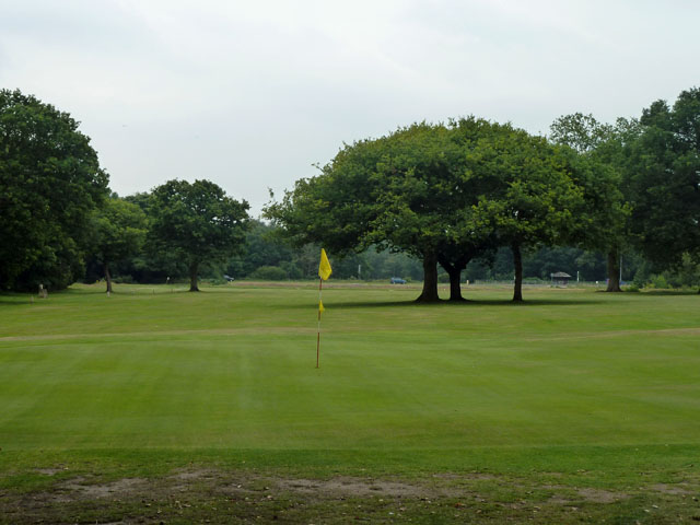
Image: © Robin Webster Taken: 29 Jul 2011
Golf is on common land controlled by the National Trust.
Images are licensed for reuse under creativecommons.org/licenses/by-sa/2.0
Image Location
Latitude
51.259075
Longitude
0.020342