Footpath 60 follows the edge of the wooded common
Introduction
The photograph on this page of Footpath 60 follows the edge of the wooded common by Robin Webster as part of the Geograph project.
The Geograph project started in 2005 with the aim of publishing, organising and preserving representative images for every square kilometre of Great Britain, Ireland and the Isle of Man.

There are currently over 7.5m images from over 14,400 individuals and you can help contribute to the project by visiting https://www.geograph.org.uk
Footpath 60 follows the edge of the wooded common
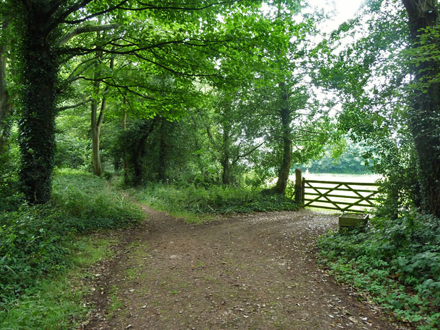
Image: © Robin Webster Taken: 29 Jul 2011
The footpath veers left here and closely parallels the B269 road. Horses were grazing the field through the gate.
Images are licensed for reuse under creativecommons.org/licenses/by-sa/2.0
Image Location
Latitude
51.248066
Longitude
0.032899