Post Office Row, Limpsfield Chart
Introduction
The photograph on this page of Post Office Row, Limpsfield Chart by Robin Webster as part of the Geograph project.
The Geograph project started in 2005 with the aim of publishing, organising and preserving representative images for every square kilometre of Great Britain, Ireland and the Isle of Man.

There are currently over 7.5m images from over 14,400 individuals and you can help contribute to the project by visiting https://www.geograph.org.uk
Post Office Row, Limpsfield Chart
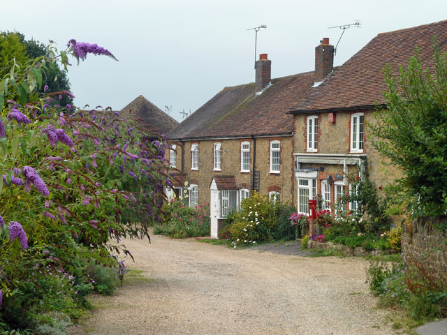
Image: © Robin Webster Taken: 29 Jul 2011
The original post office was not where the post box is, but behind the viewpoint closer to the pub here. The cottage with the postbox was later called Post Cottage, but whether it had any official function has not been determined.
Images are licensed for reuse under creativecommons.org/licenses/by-sa/2.0
Image Location
Latitude
51.248576
Longitude
0.0398