Boundary of Westcott Venture Park
Introduction
The photograph on this page of Boundary of Westcott Venture Park by Mark Edwards as part of the Geograph project.
The Geograph project started in 2005 with the aim of publishing, organising and preserving representative images for every square kilometre of Great Britain, Ireland and the Isle of Man.

There are currently over 7.5m images from over 14,400 individuals and you can help contribute to the project by visiting https://www.geograph.org.uk
Boundary of Westcott Venture Park
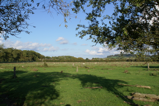
Image: © Mark Edwards Taken: 2 Oct 2006
Grazing land bordering the security fence surrounding Westcott Venture Park, once a war-time airfield. The hill in the distance carries Waddesdon Manor.
Images are licensed for reuse under creativecommons.org/licenses/by-sa/2.0
Image Location
Latitude
51.840889
Longitude
-0.981009