Congregational Church
Introduction
The photograph on this page of Congregational Church by David Dixon as part of the Geograph project.
The Geograph project started in 2005 with the aim of publishing, organising and preserving representative images for every square kilometre of Great Britain, Ireland and the Isle of Man.

There are currently over 7.5m images from over 14,400 individuals and you can help contribute to the project by visiting https://www.geograph.org.uk
Congregational Church
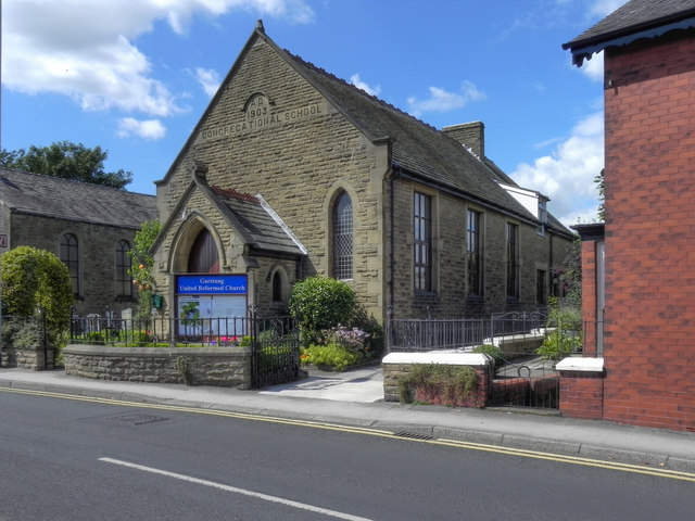
Image: © David Dixon Taken: 26 Jul 2011
The Congregational (now United Reformed) Church on Croston Road was Garstang's first Free Church, built in 1777 and extended in 1876.
Images are licensed for reuse under creativecommons.org/licenses/by-sa/2.0
Image Location
Latitude
53.902709
Longitude
-2.774807