Old Garstang Council Offices
Introduction
The photograph on this page of Old Garstang Council Offices by David Dixon as part of the Geograph project.
The Geograph project started in 2005 with the aim of publishing, organising and preserving representative images for every square kilometre of Great Britain, Ireland and the Isle of Man.

There are currently over 7.5m images from over 14,400 individuals and you can help contribute to the project by visiting https://www.geograph.org.uk
Old Garstang Council Offices
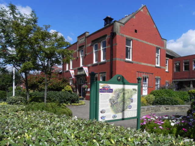
Image: © David Dixon Taken: 26 Jul 2011
This large, red brick building is at the top of High Street. It was built in 1913 for the Board of Guardians and Garstang Rural District Council (later absorbed into Wyre Borough Council under Local Government Reorganisation in 1974). It is now used for a number of purposes.
Images are licensed for reuse under creativecommons.org/licenses/by-sa/2.0
Image Location
Latitude
53.902808
Longitude
-2.773439