Bridge 79a
Introduction
The photograph on this page of Bridge 79a by Mike Todd as part of the Geograph project.
The Geograph project started in 2005 with the aim of publishing, organising and preserving representative images for every square kilometre of Great Britain, Ireland and the Isle of Man.

There are currently over 7.5m images from over 14,400 individuals and you can help contribute to the project by visiting https://www.geograph.org.uk
Bridge 79a
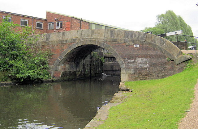
Image: © Mike Todd Taken: 13 Jun 2011
Rochdale Canal below Tannersfield Highest Lock 66
Images are licensed for reuse under creativecommons.org/licenses/by-sa/2.0
Image Location
Latitude
53.504854
Longitude
-2.166711