Bonds Lane/Garstang Bridge
Introduction
The photograph on this page of Bonds Lane/Garstang Bridge by David Dixon as part of the Geograph project.
The Geograph project started in 2005 with the aim of publishing, organising and preserving representative images for every square kilometre of Great Britain, Ireland and the Isle of Man.

There are currently over 7.5m images from over 14,400 individuals and you can help contribute to the project by visiting https://www.geograph.org.uk
Bonds Lane/Garstang Bridge
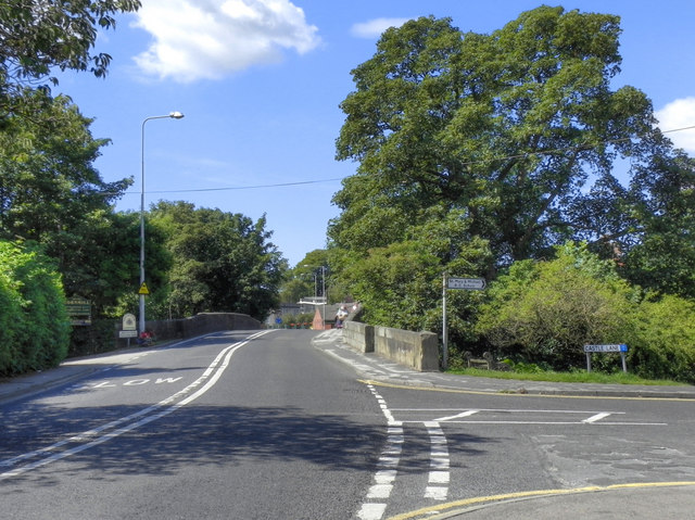
Image: © David Dixon Taken: 26 Jul 2011
Looking along Bonds Lane, across Garstang Bridge. Until 1926, when the first by-pass was built, this was the route of the main north to south road (the A6) which ran through the town and over the River Wyre at the stone bridge. It formed the 'Drove Road' for Highland Cattle being walked from Scotland to markets in the midlands and London.
Images are licensed for reuse under creativecommons.org/licenses/by-sa/2.0
Image Location
Latitude
53.898049
Longitude
-2.772742