Theydon Bois station
Introduction
The photograph on this page of Theydon Bois station by Malc McDonald as part of the Geograph project.
The Geograph project started in 2005 with the aim of publishing, organising and preserving representative images for every square kilometre of Great Britain, Ireland and the Isle of Man.

There are currently over 7.5m images from over 14,400 individuals and you can help contribute to the project by visiting https://www.geograph.org.uk
Theydon Bois station
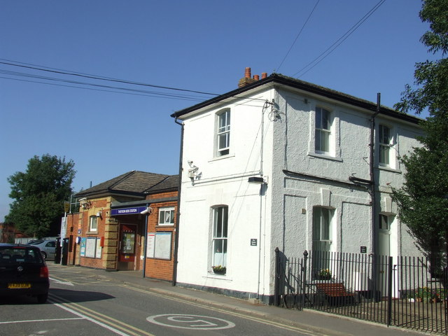
Image: © Malc McDonald Taken: 24 Jul 2011
The station at Theydon Bois is on London's Underground, despite being neither in London nor below ground. The Central Line is one of two London Underground lines which extends beyond the boundary of Greater London. The line was originally built by another railway company, but became part of the Underground when the Central line took over the line.
Images are licensed for reuse under creativecommons.org/licenses/by-sa/2.0
Image Location


Leaflet Map data © OpenStreetMap
Latitude
51.671474
Longitude
0.102855