Tory Brook
Introduction
The photograph on this page of Tory Brook by Tony Atkin as part of the Geograph project.
The Geograph project started in 2005 with the aim of publishing, organising and preserving representative images for every square kilometre of Great Britain, Ireland and the Isle of Man.

There are currently over 7.5m images from over 14,400 individuals and you can help contribute to the project by visiting https://www.geograph.org.uk
Tory Brook
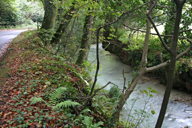
Image: © Tony Atkin Taken: 30 Sep 2006
The stream is stained milky white, being polluted with a suspension of china clay from the Lee Moor workings upstream.
Images are licensed for reuse under creativecommons.org/licenses/by-sa/2.0
Image Location
Latitude
50.398546
Longitude
-4.041534