Dorweeke Cross; the road west
Introduction
The photograph on this page of Dorweeke Cross; the road west by David Smith as part of the Geograph project.
The Geograph project started in 2005 with the aim of publishing, organising and preserving representative images for every square kilometre of Great Britain, Ireland and the Isle of Man.

There are currently over 7.5m images from over 14,400 individuals and you can help contribute to the project by visiting https://www.geograph.org.uk
Dorweeke Cross; the road west
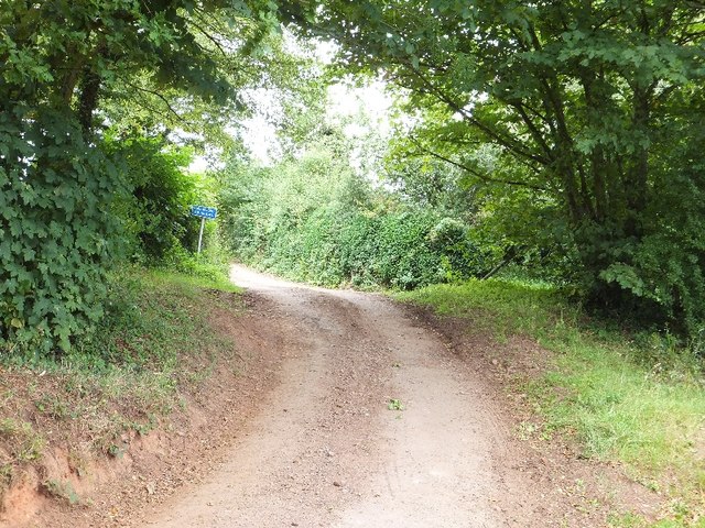
Image: © David Smith Taken: 26 Jul 2011
It is not often that the OS map is incorrect; this track is marked as a road on the OS maps, but is only passable on foot or with a tractor. The sign warns that it is unsuitable for motors. It appears that the tarmac has been allowed to deteriorate Image]
Images are licensed for reuse under creativecommons.org/licenses/by-sa/2.0
Image Location


Leaflet Map data © OpenStreetMap
Latitude
50.849413
Longitude
-3.467341