Field of maize near Stokehouse
Introduction
The photograph on this page of Field of maize near Stokehouse by David Smith as part of the Geograph project.
The Geograph project started in 2005 with the aim of publishing, organising and preserving representative images for every square kilometre of Great Britain, Ireland and the Isle of Man.

There are currently over 7.5m images from over 14,400 individuals and you can help contribute to the project by visiting https://www.geograph.org.uk
Field of maize near Stokehouse
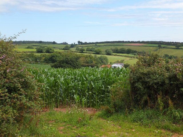
Image: © David Smith Taken: 26 Jul 2011
In the valley there is a glimpse of the roof of Flesterhaies Cottage Image and the wood beside it.
Images are licensed for reuse under creativecommons.org/licenses/by-sa/2.0
Image Location
Latitude
50.843413
Longitude
-3.45096