Sign for the Nightingale Lane Meadows
Introduction
The photograph on this page of Sign for the Nightingale Lane Meadows by Dave Spicer as part of the Geograph project.
The Geograph project started in 2005 with the aim of publishing, organising and preserving representative images for every square kilometre of Great Britain, Ireland and the Isle of Man.

There are currently over 7.5m images from over 14,400 individuals and you can help contribute to the project by visiting https://www.geograph.org.uk
Sign for the Nightingale Lane Meadows
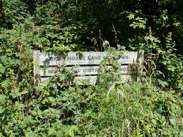
Image: © Dave Spicer Taken: 24 Jul 2011
This is one of several areas owned by Mid Sussex District Council and is part of the Burgess Hill Green Circle Network, creating a green buffer strip around Burgess Hill.
Images are licensed for reuse under creativecommons.org/licenses/by-sa/2.0
Image Location
Latitude
50.945014
Longitude
-0.14107