Low Water
Introduction
The photograph on this page of Low Water by Keith Evans as part of the Geograph project.
The Geograph project started in 2005 with the aim of publishing, organising and preserving representative images for every square kilometre of Great Britain, Ireland and the Isle of Man.

There are currently over 7.5m images from over 14,400 individuals and you can help contribute to the project by visiting https://www.geograph.org.uk
Low Water
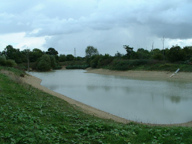
Image: © Keith Evans Taken: 1 Oct 2006
Low Water at The Hobbets as marked on the Ordnance Survey maps.This is a farmers irrigation reservoir http://www.geograph.org.uk/photo/252394.
Images are licensed for reuse under creativecommons.org/licenses/by-sa/2.0
Image Location


Leaflet Map data © OpenStreetMap
Latitude
52.135131
Longitude
0.898999