The house at Foxes Oven
Introduction
The photograph on this page of The house at Foxes Oven by Shazz as part of the Geograph project.
The Geograph project started in 2005 with the aim of publishing, organising and preserving representative images for every square kilometre of Great Britain, Ireland and the Isle of Man.

There are currently over 7.5m images from over 14,400 individuals and you can help contribute to the project by visiting https://www.geograph.org.uk
The house at Foxes Oven
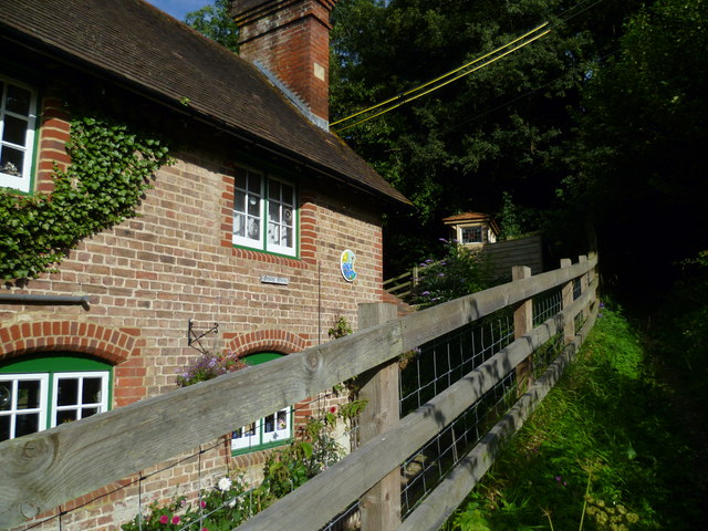
Image: © Shazz Taken: 25 Jul 2011
"Foxes Oven" is the name of the house which sports a very colourful name plate seen on this wall. After a flat walk from South Stoke the bridleway here to the road is rather steep.
Images are licensed for reuse under creativecommons.org/licenses/by-sa/2.0
Image Location
Latitude
50.871044
Longitude
-0.543105