Cut benchmark on the King's Head, Bristol
Introduction
The photograph on this page of Cut benchmark on the King's Head, Bristol by Neil Owen as part of the Geograph project.
The Geograph project started in 2005 with the aim of publishing, organising and preserving representative images for every square kilometre of Great Britain, Ireland and the Isle of Man.

There are currently over 7.5m images from over 14,400 individuals and you can help contribute to the project by visiting https://www.geograph.org.uk
Cut benchmark on the King's Head, Bristol
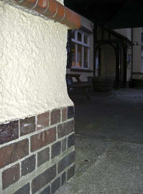
Image: © Neil Owen Taken: 26 Jul 2011
Once there used to be a flush bracket here, but it seems to have been lost. However, a simple cutmark has been made close to the original position, although its date may be several years apart. See http://www.bench-marks.org.uk/bm786 for the Benchmark Database.
Images are licensed for reuse under creativecommons.org/licenses/by-sa/2.0
Image Location
Latitude
51.421288
Longitude
-2.629571