Woodridden Hill, Epping Forest
Introduction
The photograph on this page of Woodridden Hill, Epping Forest by Malc McDonald as part of the Geograph project.
The Geograph project started in 2005 with the aim of publishing, organising and preserving representative images for every square kilometre of Great Britain, Ireland and the Isle of Man.

There are currently over 7.5m images from over 14,400 individuals and you can help contribute to the project by visiting https://www.geograph.org.uk
Woodridden Hill, Epping Forest
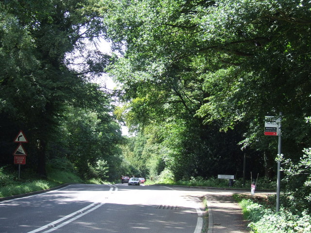
Image: © Malc McDonald Taken: 24 Jul 2011
Woodridden Hill is an "A" road passing through Epping Forest. Signs warn drivers (and cyclists using the road) of a steep gradient and a bend to the right. Epping Forest is an ancient woodland and former Royal hunting forest which stretches over around 6,000 acres in North East London and Essex. In the 19th Century, London was expanding rapidly and without control. The forest's existence was under threat. The Corporation of London took over the ownership of the forest to protect it from further development.
Images are licensed for reuse under creativecommons.org/licenses/by-sa/2.0
Image Location


Leaflet Map data © OpenStreetMap
Latitude
51.675863
Longitude
0.053013