Lane to Llanddewi-Brefi, Ceredigion
Introduction
The photograph on this page of Lane to Llanddewi-Brefi, Ceredigion by Roger D Kidd as part of the Geograph project.
The Geograph project started in 2005 with the aim of publishing, organising and preserving representative images for every square kilometre of Great Britain, Ireland and the Isle of Man.

There are currently over 7.5m images from over 14,400 individuals and you can help contribute to the project by visiting https://www.geograph.org.uk
Lane to Llanddewi-Brefi, Ceredigion
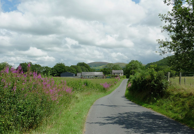
Image: © Roger D Kidd Taken: 20 Jul 2011
The lane crosses the Afon Teifi at Pont Gogoyan, thus providing a link from land west of the river. Ahead is the farm at Garthwen.
Images are licensed for reuse under creativecommons.org/licenses/by-sa/2.0
Image Location
Latitude
52.173281
Longitude
-3.977396